| Weekdays | Price |
|---|---|
| Monday | kr500 |
| Tuesday | kr500 |
| Wednesday | kr500 |
| Thursday | kr500 |
| Friday | kr500 |
| Saturday | kr500 |
| Sunday | kr500 |
*(Optional & Refundable 400 SEK)*
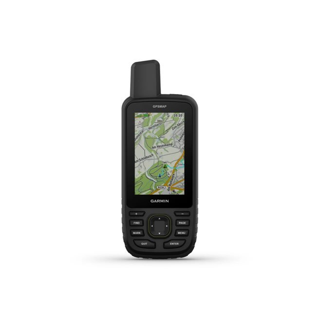
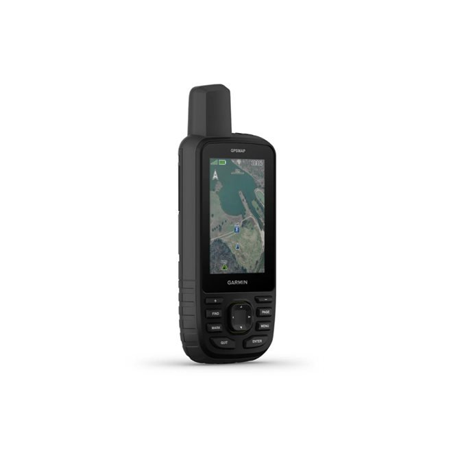
GET OUT IN NATURE
Make more time for adventures with this premium, durable GPS handheld. Get long battery life and multi-band technology for better accuracy as well as preloaded TopoActive maps and access to satellite images.
See the route clearly on a 3″ color screen that is readable in sunlight.
With up to 180 hours of battery life in tracking mode and up to 840 hours in expedition mode, you can be out longer.
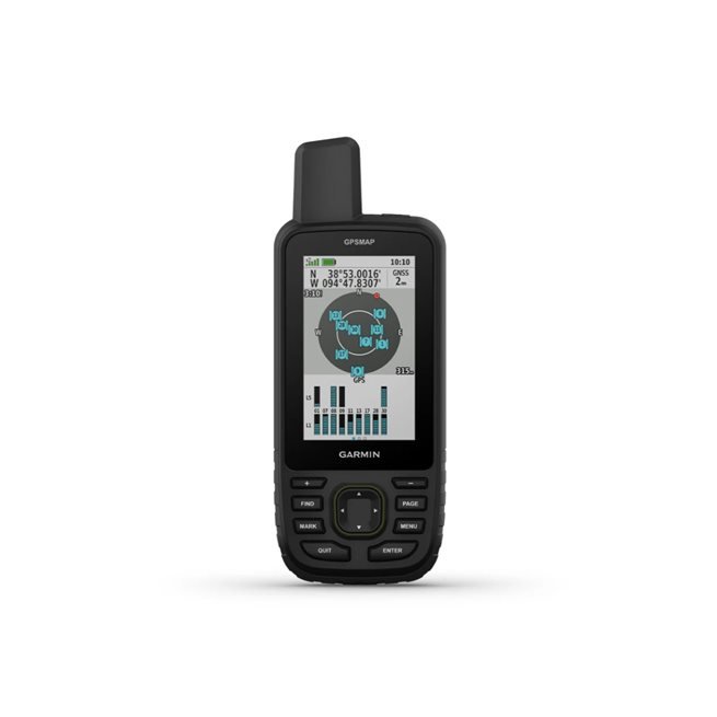
Track your position in challenging conditions with multi-band technology and extended GNSS support.
See the terrain you’re traveling in with colorful satellite images downloaded directly to your handheld GPS.
Keep track of the forecast along the route with Active Weather when paired with your compatible smartphone.
MULTI-BAND GNSS SUPPORT
Access multiple global satellite navigation systems (GPS, GLONASS, Galileo and QZSS). Access multiple frequencies sent via navigation satellites for more accurate positioning in areas where GNSS signals are reflected, weak, or do not normally penetrate.
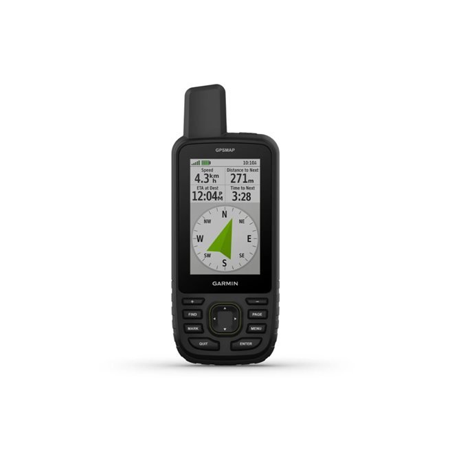
ABC SENSORS
Navigate any trail using ABC sensors, including an altimeter for elevation data, barometer for weather monitoring, and a three-axis electronic compass.
SATELLITE IMAGES
Download high-resolution realistic maps directly to handheld GPS via Wi-Fi® technology. Find tracks, choose accommodation and parking, create waypoints and much more.
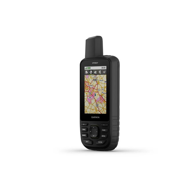
BUILT-IN TOPOACTIVE MAPS OF EUROPE
Pre-installed TopoActive Europe shows mountain peaks, parks, coastlines, rivers, lakes and geographical points.
PREMIUM MAP FEATURES
With a subscription to Outdoor Maps+, you get public land information, landowner names, state building maps, wildlife conservation area boundaries, BLM boundaries and more 1 .
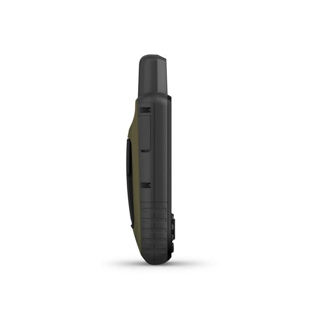
BUILT FOR ADVENTURE
This handheld device with GPS is built to military standards for heat, shock and water resistance (MIL-STD-810) and is even compatible with night vision goggles.
LED FLASHLIGHT
The GPSMAP 67 series units have a built-in LED flashlight that you can use as a distress signal to get help – one less thing to pack.
GEOCACHING
Get automatic cache updates from Geocaching Live, including descriptions, logs and tips. When connected via Wi-Fi or with the Garmin Explore™ app, each treasure is transferred to your Geocaching.com profile.
ACTIVE WEATHER
Once you’ve connected your GPS to the Garmin Explore app, you’ll get real-time forecasts so you know if conditions are changing.
THE GARMIN EXPLORE™ APP
Plan, review, and sync waypoints, routes, and tracks using the Garmin Explore app and website. You can even review completed activities while you’re out in nature.
BATTERY TIME
The built-in rechargeable lithium-ion battery has up to 180 hours of battery life in GPS mode and up to 840 hours in expedition mode.
CONTENT
GPSMAP 67
USB cable type A to type C
Carabiner
Documentation
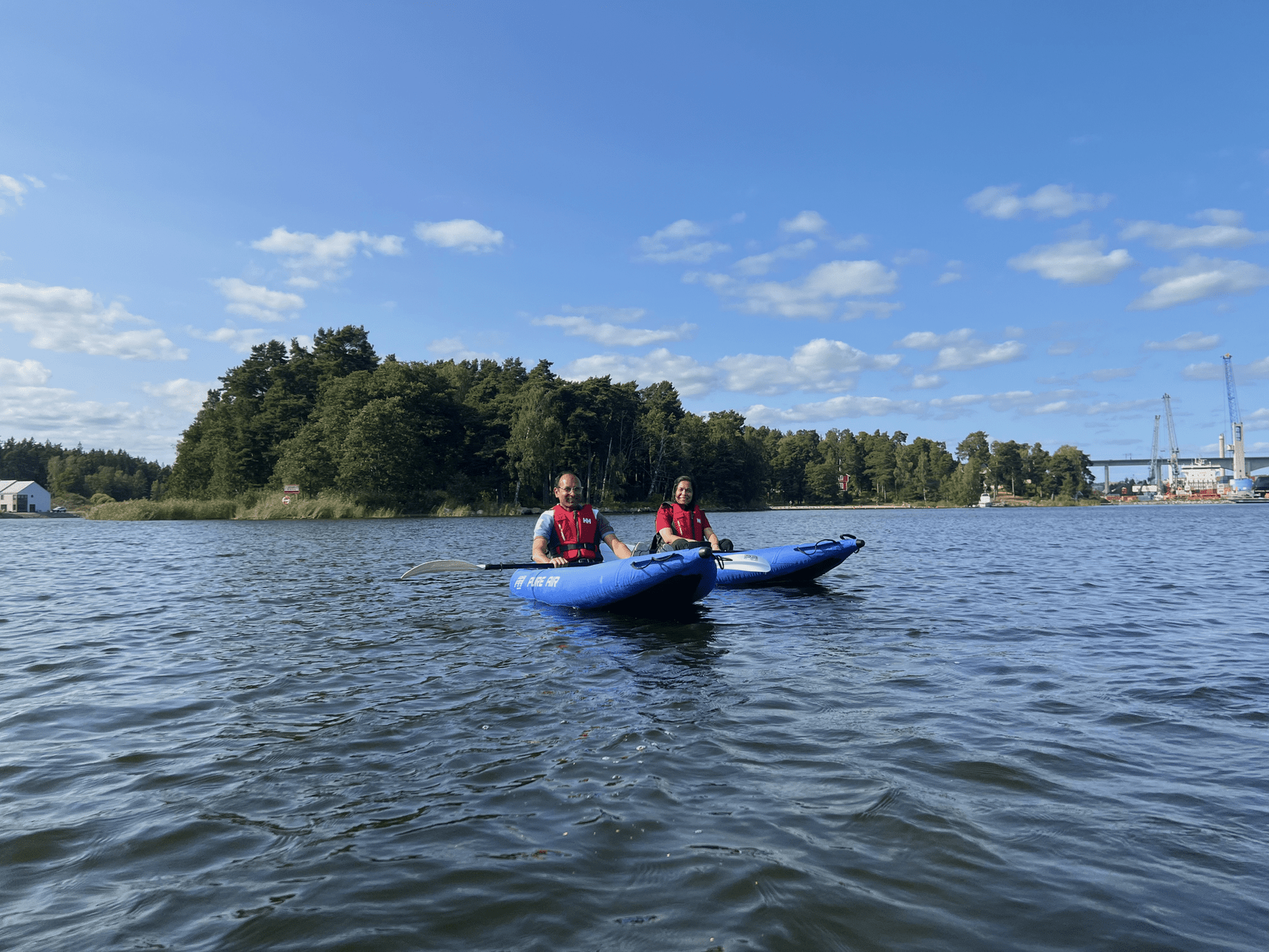
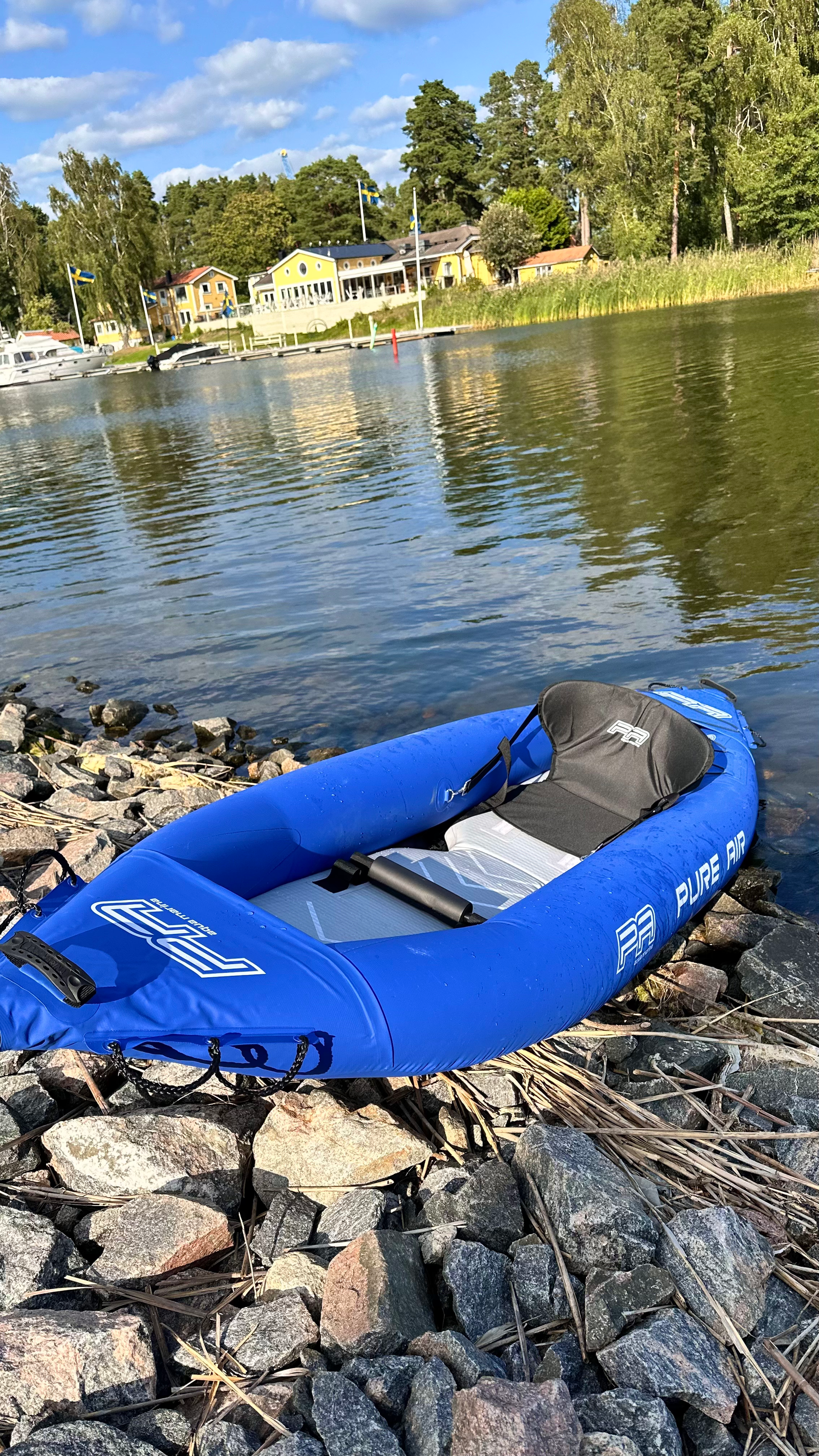
Booking